- Photos & Map
How would you like to arrive?
- Description
- Good to know
Download GPX file
- 1:15 h
- 1.76 km
- 103 m
- 103 m
- 778 m
- 881 m
- 103 m
- Start: Mörel, village center
- Destination: Mörel, village center
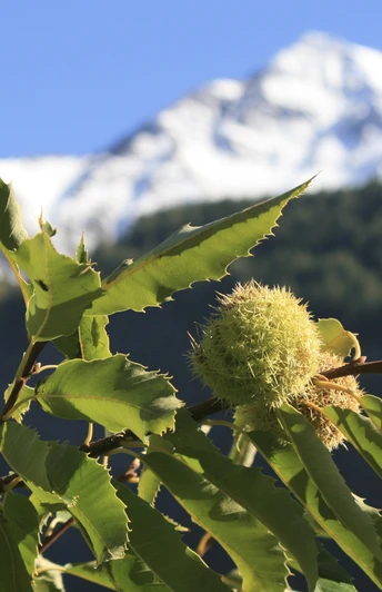
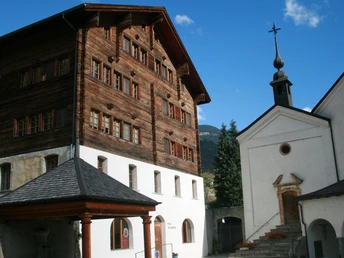
The starting point for the themed trail is the St. Hilarius Church in Mörel-Filet. Walk along the village street, following the village stream, to the mountainside end of the village. There, follow the path branching off to the left. The themed trail leads past walls of terraced fields to an impressively old stand of sweet chestnut trees. Chestnut cultivation has a long tradition in the area. The first mentions appear under the name «Chesteholz» as early as 1279. At that time, chestnut trees were planted to secure food supply for the poor population. In 2003, the citizens of Mörel-Filet decided to recultivate the old Kastanienselve Salzgäb, replant it, and designate it as a forest reserve. Information boards along the trail provide insights into the significance of the Kastanienselve from an agricultural and ecological perspective and explain the recultivation project. The return path to the village center follows the same route or the wider hiking trail.
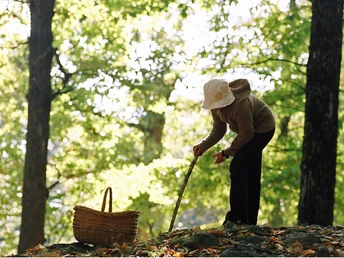
Please note that the chestnut trees in the Kastanienselva are privately owned. For this reason, collecting chestnuts is not permitted.
Good to know
Directions
Mörel-Filet – Themed Trail Kastanienselve Salzgäb – Mörel-Filet
Safety guidelines
The use of hiking trails and information on this website is at your own risk. Conditions on site may cause changes to the route. Aletsch Arena AG accepts no responsibility for the accuracy and completeness of the information on this website.
- Carry a map with you. Download the complete description of the hiking trail with a large-scale map by clicking «Print» at the top right of the page.
- Use only marked hiking trails and observe all signposts and instructions—for your own safety, the protection of grazing animals, and respect for wildlife.
- Close gates after passing through.
- Be considerate towards other trail users, plants, and animals.
Tour information
Cultural Interesting
Familiy-Friendly
Loop Road
Stop at an Inn
Best to visit
Pavements
Equipment
We recommend:
- Good footwear
- Weather-dependent clothing: always carry a waterproof vest
- Headgear
- Sun protection
- Water bottle
- Picnic
- Camera
- Binoculars (optional)
- Trekking poles (optional)
- Printout of the hiking trail (click «Print» to download)
Directions & Parking facilities
- Limited number of paid parking spaces at Mörel-Filet station. Additional parking is signposted.
- Large paid parking garages at the entrance to Mörel-Filet as well as in the village center.
Additional information
Aletsch Arena AG
Furkastrasse 39
CH-3983 Mörel-Filet
+41 27 928 58 58
info@aletscharena.ch
www.aletscharena.ch
Literature
At the mountain railways and information centers of the Aletsch Arena you will receive a free panorama map.
Author´s Tip / Recommendation of the author
Learn more about the history of chestnut cultivation in Mörel-Filet! Visit the information exhibition in the De-Sepibus House!
Map
Topographic maps SwissTopo: 1:25,000: 1269 Aletsch Glacier


