- Photos & Map
How would you like to arrive?
- Description
- Good to know
- 3:00 h
- 8.29 km
- 126 m
- 263 m
- 1,190 m
- 1,453 m
- 263 m
- Start: Blatten, train station
- Destination: Ried-Mörel, train station
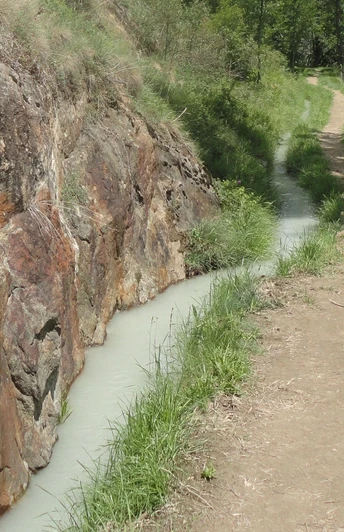
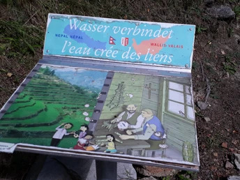
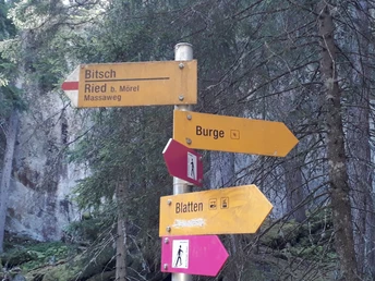
From Blatten, hike via Rischinerwald to the Gebidem Bridge. On the other side of the valley, follow the downhill path over Gragg towards the Massa Gorge. On the Massa path carved into the rock, you then hike along the Riederi Suone. The themed route provides impressive information about the old irrigation systems of Valais. The well-restored Suone and information boards offer insights into the history, construction, and maintenance of the Suone systems, as well as related customs and myths. High above the Massa Gorge, breathtaking views open up repeatedly into the depths, of the Rhone Valley, and the Valais Alps. Attention: The path runs partly at great height, crosses narrow bridges and exposed sections. Surefootedness and a head for heights are required! There is a risk of slipping in wet conditions! Via Rieschwald and Roti Flue you reach Ried-Mörel. From there, you take the cable car down to Mörel or up to Riederalp.
Good to know
Directions
Safety guidelines
Use of the hiking trails and information on this website is at your own risk. Conditions on site may cause changes to the route. Aletsch Arena AG assumes no responsibility for the accuracy and completeness of the information on this website.
- Carry a map with you. Download the complete description of the hiking trail with a large-scale map by clicking «Print» at the top right of the page.
- Use only marked hiking trails and observe all signs and instructions – for your own safety, the protection of grazing animals, and out of respect for wildlife.
- Close gates after passing through.
- Behave considerately towards other trail users, plants, and animals.
Tour information
Cultural Interesting
Familiy-Friendly
Stop at an Inn
Best to visit
Pavements
Equipment
We recommend:
- Good footwear
- Weather-dependent clothing: always carry a waterproof vest
- Headgear
- Sun protection
- Water bottle
- Picnic
- Camera
- Binoculars (optional)
- Hiking poles (optional)
- Printout of the hiking trail (click «Print» to download)
Directions & Parking facilities
Additional information
Aletsch Arena AG
Furkastrasse 39
CH-3983 Mörel-Filet
+41 27 928 58 58
info@aletscharena.ch
www.aletscharena.ch
Literature
At the mountain railways and information centers of the Aletsch Arena, you will receive a free panoramic map.
Author´s Tip / Recommendation of the author
Map
Topographic maps SwissTopo: 1:25,000: 1269 Aletsch Glacier


