- Photos & Map
How would you like to arrive?
- Description
- Good to know
Download GPX file
- 20:05 h
- 129.05 km
- 4,700 m
- 4,722 m
- 757 m
- 2,452 m
- 1,695 m
- Start: Different starting points (764 m)
- Destination: Different points of arrival (765 m)
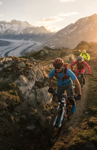
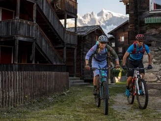
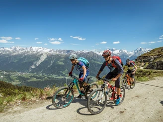
A total of 127km and 4,700 spectacular altitude metres await you on this challenging mountain-bike route. But it is specifically designed to let you tackle the tour over a number of days from different starting points. From Bellwald, for example, via Fieschertal and Fiesch, then on to the steep climb up to the sunny plateau of the Aletsch Arena. From there the route takes you to Lake Märjelensee and back to Bettmeralp. From Bettmeralp you cycle up to the Moosfluh Checkpoint and on over Riederalp down to Mörel. This is followed by the ultimate in uphill challenges: a climb of 1,600 altitude meters up to the Breithornpass! But the subsequent ride down to Binntal lets you relax a little. From here you follow the Rhone towards Obergoms and back to Bellwald.
Good to know
Directions
Safety guidelines
Tour information
Cultural Interesting
Loop Road
Stop at an Inn
Best to visit
Pavements
Equipment
Directions & Parking facilities
Additional information
Furkastrasse 39
CH-3983 Mörel-Filet
+41 27 928 58 58
info@aletscharena.ch
www.aletscharena.ch
Literature
Author´s Tip / Recommendation of the author


