- Photos & Map
How would you like to arrive?
- Description
- Good to know
Download GPX file
- 2:15 h
- 13.89 km
- 803 m
- 803 m
- 1,306 m
- 1,904 m
- 598 m
- Start: Riederalp, Bergstation Luftseilbahn Mitte
- Destination: Riederalp, Bergstation Luftseilbahn Mitte
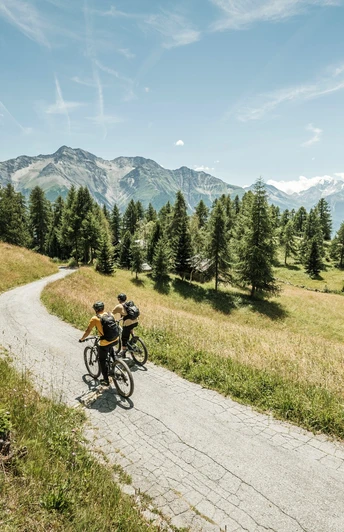
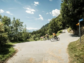
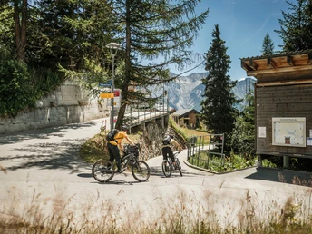
Start at the Infocenter on Riederalp, from where you bike eastwards up to the height of the Moosfluh valley station. Here you change to the right-turning path, which leads in long serpentine bends past the hamlets Biel, Bina and Gstalji down to Golmenegg and onwards to Goppisberg. On the paved road, you now ride westwards to Greich. Once there, a somewhat more difficult section follows: via a challenging trail and two ditches you reach Ried-Mörel. For technically skilled bikers, these traverses pose no problem. Otherwise, we recommend pushing the bike when crossing the ditches. Continue on the paved road to Oberried. The last route stage then awaits you - an ascent of around 600 meters in altitude, which you have to overcome on the forest road back to Riederalp.
By the way: This bike route is e-MTB compatible. Note, however, that the indicated duration is reduced.
Good to know
Directions
Safety guidelines
Tour information
Loop Road
Stop at an Inn
Best to visit
Pavements
Equipment
- Bicycle helmet (if necessary, enduro or full-face helmet)
- Bicycle gloves, elbow and knee protectors (if necessary, back and shin protectors)
- Sturdy, comfortable and preferably waterproof footwear (if necessary, mountain bike shoes with ankle protection)
- Clothing in a multi-layer principle with moisture transport
- Backpack (with rain cover)
- Sun, rain and wind protection (hat, sunscreen, waterproof and windproof jacket)
- Sunglasses
- Mobile phone
- First aid kit
- Pocket knife
- Cash
- Navigation device / map and compass
- Sufficient provisions and drinking water
Technical equipment
- Air or CO2 pump with cartridges
- Tire repair kit
- Spare bicycle tube
- Chain tool
- Allen keys
- Handlebar mount for mobile phone/navigation
- Bicycle lock
Where applicable, a roadworthy (E-)mountain bike with plenty of suspension travel, bell, front and rear lights, and spoke reflectors.
The lists for “basic equipment” and “technical equipment” do not claim to be complete and serve only as suggestions for what you should pack.
For your safety, you should carefully read all instructions for the proper use and maintenance of your equipment.
Please ensure that your equipment complies with local laws and does not contain any prohibited items.
Directions & Parking facilities
Take the cantonal road 19 to the Mörel-Filet exit, continue to the signposted parking options. Take the Riederalp cable car (Aletsch Bahnen AG) up to Riederalp.
- Limited number of fee-based parking spaces at Mörel-Filet station. Further parking options are signposted.
- Large fee-based multi-storey car parks at the entrance to Mörel-Filet and in the village center.
By train from Brig or Oberwald to Mörel-Filet, then on foot to the Riederalp cable car (Aletsch Bahnen AG). Take this up to Riederalp.
Additional information
Furkastrasse 39
CH-3983 Mörel-Filet
+41 27 928 58 58
info@aletscharena.ch
www.aletscharena.ch
Author´s Tip / Recommendation of the author
Map


